by Jim Goodman
 |
| Dai farmer and his son riding buffaloes outside of Ruili |
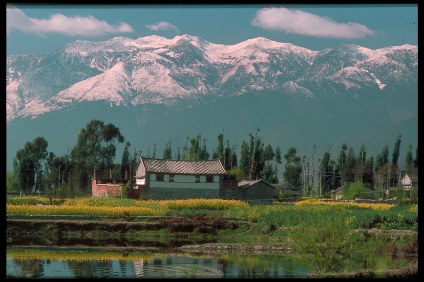
Dehong in southwest Yunnan is
an Autonomous Dai and Jingpo Prefecture.
Only about 20% of Dehong consists of plains and valleys. The rest of the prefecture is hilly or
mountainous and has a forest cover of around 60%, the highest rate in the
province. The population tops one
million, with the Han a slight majority.
The Dai dominate the plains and valleys, while the Jingpo constitute the
largest ethnic minority in the hills, especially in the western part of the
prefecture. Han Chinese only began
migrating to Dehong after the eradication of malaria in the early 50s and
largely, but not entirely, reside in the urban areas.
The Dai are not the only
indigenous folks in the plains, nor are the Jingpo the only hill people. As for the Han, some also have farms in
the plains, while others work in the coffee and tea plantations in the hills
,such as Dachang, east of Lianghe.
Such Dehong features become apparent when taking a trip from Tengchong,
just north of Dehong in Baoshan Prefecture, to Ruili in southwest Dehong.
 |
| Nandin Xuanfu, the former palace in Lianghe |
Lianghe, the first city on the
route, is an easy ride through the plains from Tengchong. But even when I visited two decades ago
the city was thoroughly modernized, almost entirely Han-inhabited. The only Dai elements consisted of a
couple small restaurants, a pagoda in the inverted bell shape built around
1980, and the palace of the former Dai ruler.
This is the city’s main
attraction, originally built in 1851, when Lianghe was known as Nandin. The palace (Nandin Xuanfu) consists of
seven connected courtyards, with gardens, pools and red brick buildings with
dark gray, tiled roofs. The
doorways from one courtyard to another are circular or oval, a feature seen in
many temples in the prefecture as well.
Here the district’s chaopha
(Lord of the Sky in the Dai language) lived in sumptuous splendor, while lesser
members of the aristocracy owned smaller houses, but still in marked contrast
to the simple dwellings of the commoners.
 |
| Achang woman |
 |
| Achang woman returning from the fields |
The Dai in Dehong speak a
different dialect than the Dai further east and use a different alphabet than
that used in Xishuangbanna. They generally
live in houses of gray-brown brick and tiled roofs that sit on the ground. In rural villages some build homes, one
or two stories, with walls of plaited split bamboo, with roofs of tin or
thatch. Like other Dai, they are
accomplished rice farmers, with irrigation canals that intersect the fields and
provide a source of fish. Dehong
rice is especially tasty and that grown in Zhefang district in Luxi County was
one of the tribute items demanded by the imperial Qing Court. The prefecture is also famous for its
pineapples.
 |
| countryside near Yingjiang |
Dai villages lie west and
south of Lianghe, but to the north and east lie settlements of the Achang
minority nationality. The Achang
in Yunnan number a little over 40,000, nearly all of whom live in Dehong. Another 2000 or so reside across the
border in Myanmar. Chinese
historical records indicate the Achang were living in Dehong in the 13th
century.
They speak a Tibeto-Burman
language and under imperial China enjoyed a measure of autonomy. But their chieftains were subordinate
to the Dai chaopha, who could make
tax and service demands on the Achang as he wished. Consequently, Dai culture has had a strong influence on the
Achang. They live in the same kind
of gray-brown brick houses, practice Theravada Buddhism, with a temple in each
village, and dress similarly.
 |
| Yunyan Pagoda near Yingjiang |
The men wear a side-fastened,
long-sleeved, dark jacket over trousers.
The married women dress in the same back sarong as the local Dai women,
with a long-sleeved blue or black jacket, also similar to that of the Dai. The main difference is the headgear—a
tall, tubular, brimless black hat.
Unmarried girls wear no hat, but tie their braids over their heads. They also wear trousers instead of
sarongs.
The other major Achang
concentration is in Husa district, Longchuan County. Besides boasting the finest Achang Buddhist temple, Husa is
renowned for its swords. The
tradition is a very ancient one among the Achang and they are so skilled at it
that other peoples around them rely on Achang swords rather than make their
own.
 |
| De'ang woman |
 |
| Burmese-style tiered pagoda near Yingjiang |
 |
| Three Elephants Pagoda, Zhangfeng |
The Lisu and Jingpo minorities
are especially prominent in the mountains of Yingjiang County, the next one
west of Lianghe. Yingjiang city is
50 km distant, after crossing a mountain to get to it. Like Lianghe, its population is manly a
Han, but with some minority touches, like a Jingpo statue and Munao festival
house and arena, Dai elephant sculptures and a few Dai restaurants. Jingpo swarm into Yingjiang for the
Munao events, but rarely otherwise.
The Lisu live in the northern mountains and seldom venture to the
city. Dai villages constitute the
city suburbs, so they are often in town during the day, the women in black
sarongs and carrying their goods in baskets at each end of a bamboo pole.
 |
| Guangmu Pagoda, Jinghan |
Yingjiang was built around a
reservoir a few km west of the Daying River. A long, straggling Dai village lies between the city and the
river. A path at the end of the
cemetery (Dehong Dai bury their dead) leads to the Yunyan Pagoda. Rising from a square base, it consists of
a white mound, with brass spires, topped with filigreed silver crowns, the
central pagoda towering above forty smaller ones. A nearby temple features a modest assembly hall and a
five-tiered, pale red pagoda in a very different style from Yunyanta. The resident monks, as in Myanmar, wear
red robes.
The road from Yingjiang to
Zhangfeng, the administrative seat for Longchuan County, measures 136 km. It crosses the Daying River and runs
along the eastern side until entering Longchuan County, crossing high mountains
tp gradually descend into the plains and Zhangfeng, seven km from the border
town of Laying.
Longchuan is about the same
size as Lianghe, but had more of a non-Han feel to it back then. Foreigners could only stay in the
Hongchuan Binguan, a few blocks from the central market, but sited alongside a
plain with a good view of the mountains to the west. Dai, Bai and Achang restaurants were nearby and at the
latter I tried the Achang specialty—guoshou
mixian (over-the-hand rice noodles).
The noodles are made from reddish
hill rice, served with chopped and ground pork, peanuts, chili, coriander,
sauce and soup. Achang folks take
a handful of noodles and add the other ingredients, which gives the dish its
name. I and other non-Achang
diners however, preferred to use chopsticks.
 |
| Jingpo men in Zhangfeng on market day |
Also near the hotel stood the
finest religious monument in Zhangfeng—the Dai-style Three Elephants Pagoda. All white, its base sits on a small island underneath the
sprawling branches of a huge pipal tree, with the central spire rising above
the three sculptures of trumpeting elephants. Other pagodas
in the suburbs and beyond were the Burmese kind, with several tiers of tin
roofs, each level smaller than the one below.
Jinghan, 12 km northeast of Zhangfeng is a nondescript town that was formerly
the county capital. Just outside
town is the hilltop Guangmu Pagoda, accessible by a flight of about 300
steps. On a white mound with a
bronze spire, its original construction dates to 1632 and marks the spot where
Dehong Dai believe Buddhism was first established in the prefecture.
 |
| Lisu woman in Zhangfeng |
 |
| Dai food stalls in the Zhangfeng market |
Every five days Zhangfeng
hosts open market day, attracting people from both sides of the border. Besides the Dai, Jingpo and Lisu from
the mountains to the northeast show up, hawking hill crops, deerskins,
split-bamboo baskets and other items.
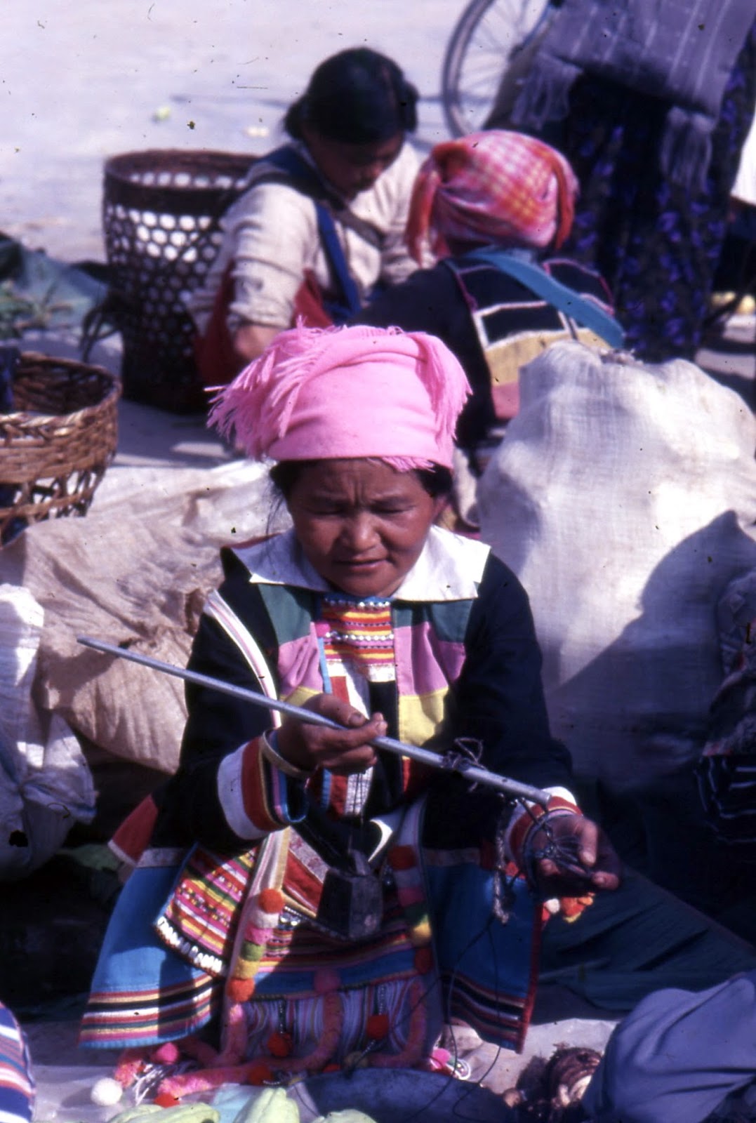
A few De’ang women may also turn up, recognizable by their bright,
multi-colored jackets and headscarves, woolen tassel earrings, striped sarong
and perhaps, like some Jingpo women, rattan rings around the hips.
 |
| rural Dai temple, Longchuan County |
From the Mon-Khmer linguistic
group, the De’ang population is only half that of the Achang,. A few scattered De’ang villages lie in
the hills near the Myanmar border, but most of Dehong’s De’ang live in
Santaishan district, especially in the hills south of the main road om the way
up to the Buddhist cave temple at Sanjiaoyan. They live in stilted wooden and bamboo houses with thatched
roofs and, like their Dai neighbors, practice Theravada Buddhism.
The last of western Dehong’s
cities is Ruili, 37 km south of Zhangfeng, the largest of the four. From the 8th-12th
centuries it was the capital of Mengmao, the most powerful kingdom in the immediate region. The Mongols conquered it in the 13th
century and the Ming Dynasty reasserted Chinese suzerainty in the 14th
century. It retained a measure of
local autonomy until the 20th century and in recent decades has
become important because of its commercial ties to neighboring Myanmar.
 |
| Dai women cycling home from the fields west of Ruili |
Ruili has all the hallmarks of
a prosperous border town, with skyscrapers and expensive hotels towering above
the rows of royal palm trees on the main streets. It rises late, with few shops open before 10 a.m., and stays
active late, with most people having dinner after dark and the warren of shops
and stalls inside and outside the covered central market busy until
midnight. Many Burmese wander
through town, including individual jade merchants hawking ornaments to Chinese
tourists who came to Ruili specifically to buy jade.
The other Ruili feature
drawing Chinese tourists two decades ago was its proximity to the Myanmar
border. They could take a short
trip from Ruili to Jiehao, step across the border to the other side and be able
to say they’d been to a foreign country, even if but a few hours. The main road, Highway 320, ran another
34 km southwest from Ruili to Nongdao, at the extreme end of the prefecture.
The road ran more or less
parallel to the Ruili River, a branch of the Nu River that, after crossing the
boundary, becomes the Salween River.
The road runs in a straight line, but the river is somewhat winding, so
that pieces of Myanmar territory lie between the river and the boundary line. And at Jiehao, a chunk of Chinese
territory lies south of the river.
 |
| the Snake Tree near Mengling |
The land is relatively flat on
this route, featuring a succession of Dai towns, villages and farmlands, a
rural relief after the bustle of Ruili.
Every Dai village has a temple, usually a modest wooden one, but
occasionally grander, with multi-tiered pagodas in the Burmese style, flanked
by tall bamboo poles with long, narrow cloth banners fluttering from the top
and great banyan trees in the courtyards.
Hansha Temple, a few km from Ruili, and Leizhuangxiang, on a hill north
of the highway and further down towards Nongdao, are two fine examples.
The most famous is Dadenghan
Temple, 20 km southwest of Ruili, near Jiexiang. On stilts, with red wooden walls and silver-colored roofs
and pagoda spires, with a covered entrance corridor, it is typical of the
Dehong Dai Buddhist style. It was
built in the 18th century and is supposed to house bone relics of
the Buddha. According to local
legend, the Buddha stopped for a night here on his mission to preach the
religion throughout Asia.
 |
| Jiele Pagoda, Dehong's finest |
East of Ruili, Highway 320
runs 25 km to Wanding, the last major town before the boundary of Luxi
County. It’s not much to look at
today, but from the hill behind it, especially from the Thousand Buddhas Temple
on top, one has a commanding view of the city and Myanmar beyond the
bridge. Wanding had a brief flare
of importance in the Second World War as the terminus of the Burma Road,
established after the Japanese seized eastern China and the government removed
to Chongqing. Tons of supplies,
food and weaponry crossed into Yunnan from the British colony of Burma, until
the Japanese conquered Burma and closed the road.
Returning to Ruili, I made two
last stops at Mengling and Jiele.
The former town hosts a patch of old banyan trees, with multiple roots
descending from their lower branches.
One is called the Snake Tree, similar to the Single Tree That Makes a
Forest in another park in SE Yingjiang County, as well as the one of the same
name in Daluo, Xishuangbanna.
Jiele’s attraction is its
pagoda, the finest in Dehong, originally erected in 1500 and restored ten times
since, most recently in the 1980s.
The central spire, rising above several subsidiary golden spires, stands
on a white base with the top part covered in dark orange tiles, unique in the
prefecture. With views of Dai
farmers riding their buffaloes on the way back to Ruili, it was a fitting way
to close my exploration of Dehong, a day of history, culture and everyday rural
Dai life.
 |
| Dadenghan Monastery |
° ° °
No comments:
Post a Comment