by Jim Goodman
Pyin U Lwin is just an hour’s
drive from Mandalay, but it is a very different kind of city. The immediately evident contrast is its
altitude, about 1050 meters, on an elevated plain northeast of Mandalay. This is the gateway to the Shan Plateau
and a road and railway line continue from here to Lashio. Temperatures are cooler and in winter
months can be quite chilly at night.
Both the architecture and the ethnic composition of the population
differ from Mandalay or any other town in the plains.
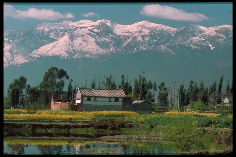
 |
| Pyin U Lwin, behind Kandawgyi Lake |
During colonial days the
town’s name was Maymyo, a hill station to where the government in Yangon
shifted its headquarters in the hot dry season. This followed a tradition already set in Britain’s India
colony, where Darjeeling was the hill station when the colonial capital was in
Calcutta and Simla for when the capital moved to Delhi. Consequently, British-style homes, gardens
and buildings dominate. And, due
to the legacy of imperialism, besides Burmese and indigenous ethnic minorities,
the population includes Indians, Chinese and Nepalese. In addition to Therevada Buddhist
temples in the Myanmar style, houses of worship in Pyin U Lwin include Chinese
Mahayana Buddhist temples, Hindu temples, mosques and churches.
Until the British conquest of
Upper Burma, only a small Shan village existed here. The surrounding land is not very suitable for rice
cultivation, so it didn’t attract settlers. Its transformation took place because the British needed a
base to establish their authority in the Shan Plateau. With their capture of Mandalay, the
last capital of the independent Kingdom of Burma, the British had completed their
three-stage conquest of the country.
But the arrested king, a weak and inexperienced monarch, didn’t exercise
much authority over the autonomous Shan princes northeast of Mandalay and the
British had to send expeditions there to make the Shan acquiesce to the new
order of things in the new colony.
 |
| British-style home |
Leading this first foray into
the Shan areas was Colonel James May, commander of the Bengal Regiment
temporarily stationed here in 1887. When the British decided in 1896 to make the base permanent
and build a town around it they called it Maymyo—May’s town in Burmese. Because of its cooler climate and easy
access to the plains, Maymyo became a favorite retreat for British civil
servants and other colonial residents, who built homes and public buildings in a
neo-Tudor English style. Trains
from Mandalay brought up elegant furniture, silver tea services, pianos,
fragile chinaware, saris for wives of the Indian and Nepalese soldiers,
bandages for the hospitals, books for the schools and Bibles for the churches. Pony carts waited at the station to take
people and their goods off to their homes.
Street names like Charing
Cross Road, Downing Street, Church Road, The Mall and Club Road reflected the
British attempt to recreate a homeland environment. While Maymyo was more crowded during the summer when
government offices shifted their operations here, it had a permanent population
of civil servants, retired servicemen and local businessmen, like the employees
of the Bombay Burmah Trading Company that ran the teakwood business. For them, Maymyo was a bit of England,
set apart from the tropical plain and its very Oriental environment. Here they could send their children to
English schools, attend services in Anglican churches, take walks along avenues
lined with pine, eucalyptus or bougainvillea, play golf or polo and dance and
sip cold drinks at the Club.
Life in Maymyo was a lot more
comfortable than in the sweltering cities of the Irrawaddy Valley. Over time other businesses developed
here, particularly fruit and vegetable cultivation, sericulture and silk
production, coffee, cattle ranching and sweater knitting. Visiting entrepreneurs would lodge at
the Candacraig, drink coffee by the fireplace and dine on roast beef and
vegetables at precisely seven p.m. every evening.
The town was also an education
center in colonial times. St.
Joseph’s Convent, with its rose brick, cottage-like buildings, had the best
reputation. But the British could
also enroll their children in St. Mary’s, Saint Michael’s or Saint Albert’s
Schools, all fine establishments. Parents
believed, not without reason, that the cooler temperatures and absence of the
enervating heat of the plains were more conducive to good studying.
 |
| All Saints Anglican Church |
 |
| Purcell Tower |
Throughout the colonial era
one of the main constituents of Maymyo’s population was the Anglo-Burman
community. These were the
offspring of European men and local women. Most were the children of British men and Burmese women, but
the term also included those whose mothers were Shan, Karen, Mon or others of
the country’s ethnic minorities, as well as those whose fathers were from other
European countries, especially Holland, thanks to the activities of the Dutch
East India Company in the 18th century, and even the Middle
East.
While somewhat looked down on
by both the British and the Burmese, the Anglo-Burman community was officially
recognized by the government as a distinct ethnic group and in fact became a
privileged group within the ethnic hierarchy. Local attitudes were very different towards the Anglo-Indian
community in India, despite the similar origins, whom both the British and the
Indians despised. The Burmese felt
the same prejudice, especially after many Anglo-Indians began arriving in Burma
to work for the railroad and customs departments.
 |
| colonial-era store still in use |
Close association with the
British colonial regime put the Anglo-Burman community in great peril when
Japan invaded the country in 1942.
Those who could manage their escape fled to India, as did the
Anglo-Indians and the Chinese. But
many were unable to exercise that option and were forced to stay. In Maymyo, a change of generals failed
to stem the Japanese advance and the British fled. When the victors took over Maymyo they discovered its large
Anglo-Burman community. Assuming
these people were automatically British sympathizers the occupiers incarcerated
most of them in concentration camps, after conscripting some of the women to be
servants and mistresses.
Those whose features more
strongly resembled those of local Burmese escaped this fate. In addition, some escaped thanks to the
aid of Burmese friends who sheltered and concealed them. Grateful for this assistance, and
disgusted by the hasty and unprepared British evacuation in 1942, after the war
many Anglo-Burmans renounced their European names and manners and began
deliberately assimilating into the Burmese way of life.
 |
| the mosque in Pyin U Lwin |
For the other Anglo-Burmans,
who had fled and returned, or who stayed but clung to their identity, the
future proved pretty grim. British
rule was coming to an end and with it their preponderance in the
bureaucracy. After 1948 it was
clear that independent Burma wanted more pure Burmese in its administration and
to expunge the colonial way of running affairs. U Nu’s government began orienting recruitment towards
indigenous Burmese, with a view to ultimately replacing the Anglo-Burmans. After Ne Win’s military took over in
1962 Anglo-Burmans began losing their jobs. Emigration, already initiated with the withdrawal of the
British, accelerated. Today, the
community barely survives.
 |
| Maymyo pony cart |
Besides Eurasians, the
colonial demographic legacy also included Indians and Nepalese, descendants of
the military units deployed here, and Chinese, some from Yunnan and some from
the Guangdong and Fujian communities that set up commercial enterprises
throughout Southeast Asia. They
are still here. A Hindu temple
serves the Hindus among the 10,000+ Indians and 5000 or so Nepalese and a
nearby mosque serves the Muslim members of the Indian and Chinese communities. The Nepalese are descendants of the
Gurkhas, mercenaries from the hill tracts of central and eastern Nepal contracted
by the British armed forces to maintain the peace on the Shan Plateau.
The town still has a bit of a military
feel to it. Myanmar’s Defense
Services Academy, its West Point equivalent, lies just a couple kilometers
outside the town on the main road from Mandalay. Statues of three of the country’s greatest kings stand in
front of the compound gate, above a sign that reads, in English, “The
Triumphant Elite of the Future.”
That might sound a bit ominous to anyone familiar with just how the
triumphant elite has accomplished its triumph until now. But the military presence in Maymyo
itself is slight, only noticeable on holidays, though a lot of residents fancy
wearing camouflage jackets and other military clothing so abundantly available
in the markets.
From the Academy, the road
into Maymyo is actually quite pretty, with poinsettias flanking the road and a
parkway filled with flowerbeds dividing the lanes. After a final roundabout it suddenly enters the downtown
commercial part of Maymyo on its southwestern side. British-style buildings begin lining the main street, while
just a block into the urban area stands the distinctive Purcell Tower. Some say the clock tower was a gift of
Queen Victoria, coinciding with a similar tower bestowed on Cape Town, South
Africa. Others say the tower came
later and was named after the man who made the clock.
 |
| commercial district |
 |
| nuns on their morning round |
The town’s imposing mosque is
just up the street from the tower.
The main market area is off to the right. Besides the usual array of produce stalls and shops the area
is also the site of an important Buddhist temple. Monks and nuns pass this way on their morning begging bowl
rounds. Itinerant fruit-sellers
augment the market scene at certain seasons, such as February-April, when
strawberries flood the town, along with strawberry jam, juice and wine.
 |
| Buddhist temple in the central market |
In 1989 the government dropped
Maymyo as the town’s name in favor of the current Pyin U Lwin. Except for Station Road, the government
also replaced the English street names with Burmese names. Local residents continue to refer to it
as Maymyo, perhaps recognizing that, although the British and the Anglo-Burmans
are gone, the town really hasn’t changed its look and character much. It’s still filled with colonial-era
architecture. The biggest of the
formerly British-owned mansions are now hotels catering to an ever-increasing
flow of tourists. You can still
have coffee or tea and English pastries at the Golden Triangle Café near
Purcell Tower and hear the chimes as the clock strikes the hour. Restaurants offer the same choices
available in colonial times—Burmese, Indian, Chinese and English meals. And the pony carts, like little
stagecoaches from the American Old West, remain the main mode of transportation
from one part of town to another, the only place in Myanmar to retain their
use.
 |
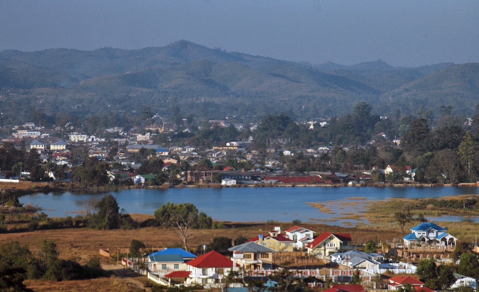
| Nan Myint Tower, Kandawgyi Gardens |
The peak of tourist season is
the three-month hot, dry season, March to April, the same time of year colonial
officials habitually left Yangon and Mandalay to come to Maymyo. Besides enjoying the ambience of the
hill station they also pay the all-but-obligatory visit to the National
Kandawgyi Gardens. When the
British built Maymyo as a place reminiscent of home, they didn’t forget their
love of gardens. In 1915 British
botanists began construction of the Gardens on a plot of 176 hectares on the
southern outskirts of Maymyo.
Altogether they planted 482 species of trees, foreign and domestic. The Gardens opened soon afterwards and
became a popular venue for the English to have a picnic.
 |
| visitors at Kandawgyi Gardens |
It remained well maintained
and popular with local residents long after the British left. Even today Burmese tourists come to
Pyin U Lwin to see the famous gardens, rather than to appreciate the colonial
architecture and heritage of the town.
The garden grounds include a big lake, with a paya perched on a small island, broad lawns filled with patches of
different flowers, pathways to separate groves, glades, teahouses and
pavilions. On the lake’s northwest
side, the Nan Myint Tower offers a view of the entire garden area, Pyin U Lwin
to the north and nearby hills in all directions. The park’s other main features are the wooden walkway over a
swamp and a nursery in the western part, with 250 species of orchid.
 |
| Kandawgyi Gardens in autumn |
Sundays and holidays the
gardens are full of local Burmese, but at other times it can be hardly crowded
at all. But if one seeks a more
solitary excursion into Nature, in a bit wilder setting, one can take a taxi to
Anisakan village, on the Mandalay-Lashio Highway 8 km back towards Mandalay,
and hike through the forest down a steep hill forty minutes to the last
cataract, fifty meters high, of the Anisakan Falls. A yellow paya stands on the ground beside the pool and it must have been some task to bring
all the building materials down the slope.
If that’s too strenuous an
excursion (it’s about two hours back up the slope), just touring Pyin U Lwin on
foot will provide pleasant and interesting exercise. It’s a walk through a chapter of Myanmar’s history. The faces in the markets and the
various religious buildings are reminders of the town’s ethnic mix. Its shops, houses, former colonial
estates, churches and schools, the very English clock tower and the pony carts
all evoke the colonial era more effectively than, for example, crumbling
British-era buildings in Yangon.
Other cities in the country the British occupied. Maymyo they built for themselves.
 |
| the waterfall below Anisakan village |
* * *
No comments:
Post a Comment